

Mapping with Faults using Autotracked Interpretation
In the latest software release of Petrosys PRO 2020.1 new functionality has been added to improve quality and efficiency when mapping faulted horizons.
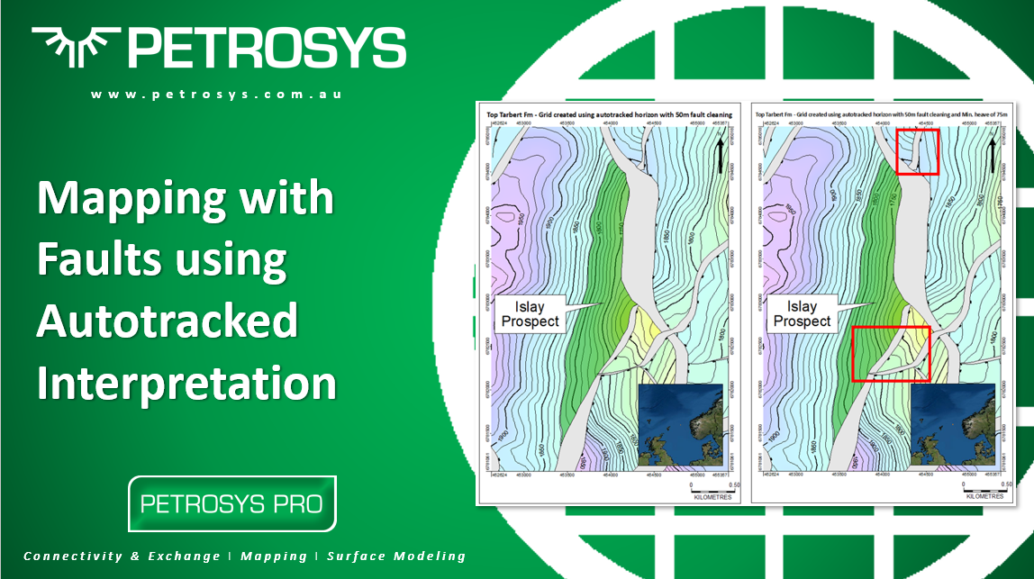
In the latest software release of Petrosys PRO 2020.1 new functionality has been added to improve quality and efficiency when mapping faulted horizons.
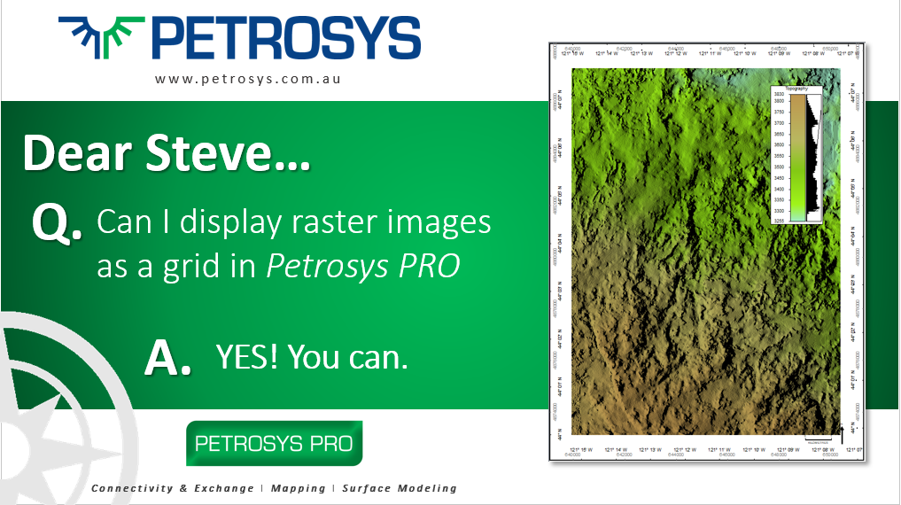
With the release of Petrosys PRO 2020.1, users are now able to display raster imagery with XYZ data as grids in Mapping and, in general, use across the software as part of any workflow.
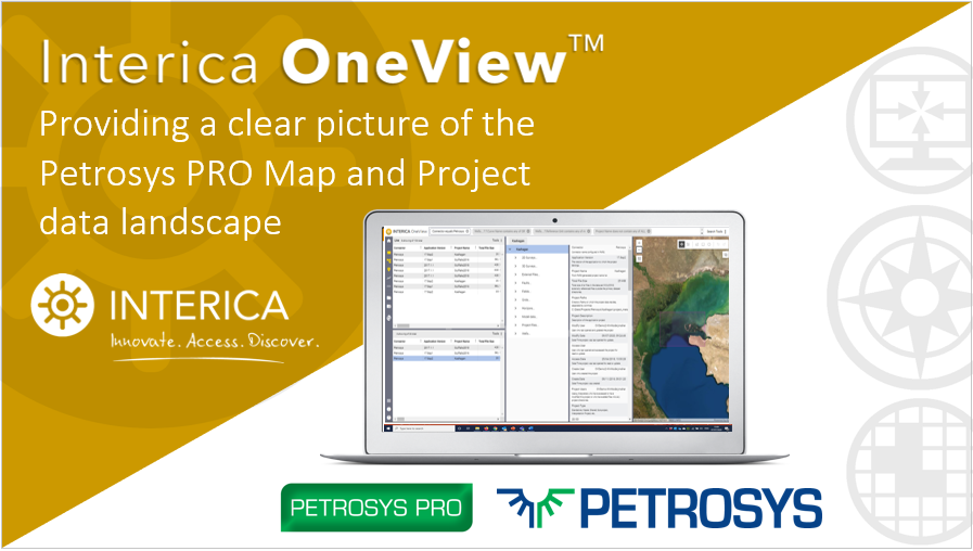
Interica OneView delivers a unique, single pane of glass view across the entire petrotechnical application environment. Interica OneView quickly identifies all Petrosys PRO projects that have been created within an organization before collecting any available metadata, spatial data, and images that are available within the projects.
Susanna Willan, Petrosys Support Geoscientist On occasion on the support desk, our Users will request help with an issue that [...]

The Petrosys Work-From-Home Initiative aims to help our clients by doing what we can to support your business through these unprecedented times.
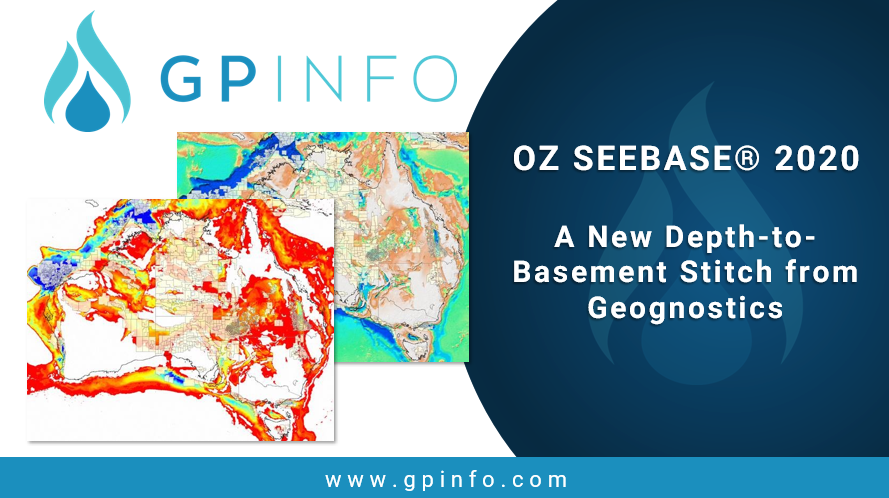
Geognostics Australia P/L has just released new images of OZ SEEBASE® 2020 and New Zealand ECS SEEBASE® 2013 through GPinfo
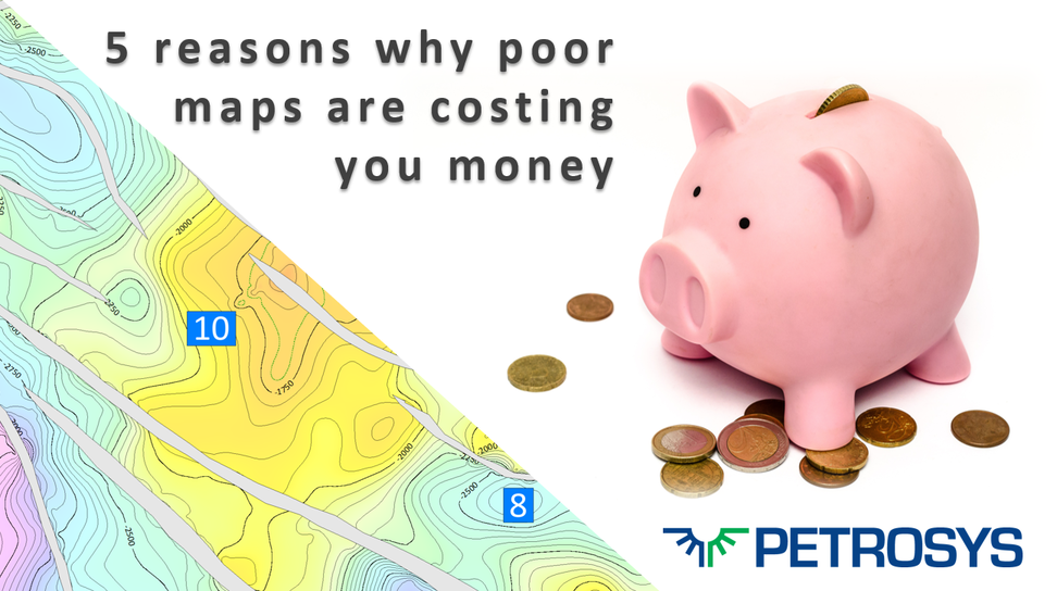
It is a sad reality in all too many instances nevertheless that there are technical teams/individuals who are not encouraged to think about the quality of the maps they present, and which ultimately can cost the company time/effort and money!

Sometimes it’s nice to know the face behind the phone call or the person on the other side of the email. This month Anu, from the Petrosys/GPinfo team in Kuala Lumpur shares her experiences from her recent trip to Varanasi and we introduce you to Connor Burt, the latest member of the team, to join us in North America.