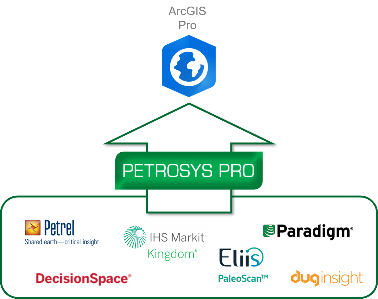
The Petrosys add-in for ArcGIS Pro
Now available in Petrosys PRO 2021.1, the Petrosys add-in for ArcGIS Pro allows users to directly display subsurface data inside ArcGIS Pro live from their chosen E&P source, including wells from DecisionSpace, seismic navigation from Petrel, and surfaces from PaleoScan, Emerson Paradigm, IHS Kingdom, and more.
*The ability to display data from OSDU is in advanced development and will be included in future releases.
Next level connectivity from Petrosys
- Petrosys technology allows you to connect to multiple subsurface & interpretation data sources.
- Display wells, well paths, seismic navigation and surfaces, grids, contours & fault polygons.
- Find and interact with data more easily.
- Geologically accurate contour & fault relationships.
- Synchronise with your chosen E&P source, update & finalise the map.
…

More Petrosys PRO tools for Esri Subsurface Integration
Explore further the Petrosys commitment to helping our customers leverage their GIS and subsurface investments through closer integration of workflows and data. The Direct Connectivity between Petrosys PRO and third-party applications allows the map view to display ArcSDE, shapefile, personal GeoDatabase, ArcGIS web services, and other GIS data along with more EP specific formats.
See Direct Connectivity for more on the Petrosys Exchange functionality.


