News

Season’s Greetings – A message from the C.E.O

2020 is without a doubt, not the year any of us had planned however, as I look back on the past 12 months it has been heartening to witness our resilience and capacity to adapt to unparalleled circumstances and keep going.  Petrosys colleagues and clients have successfully migrated to a ‘virtual’ world and it is with pleasure that I note our ability to communicate and remain productive has only gone from strength to strength.

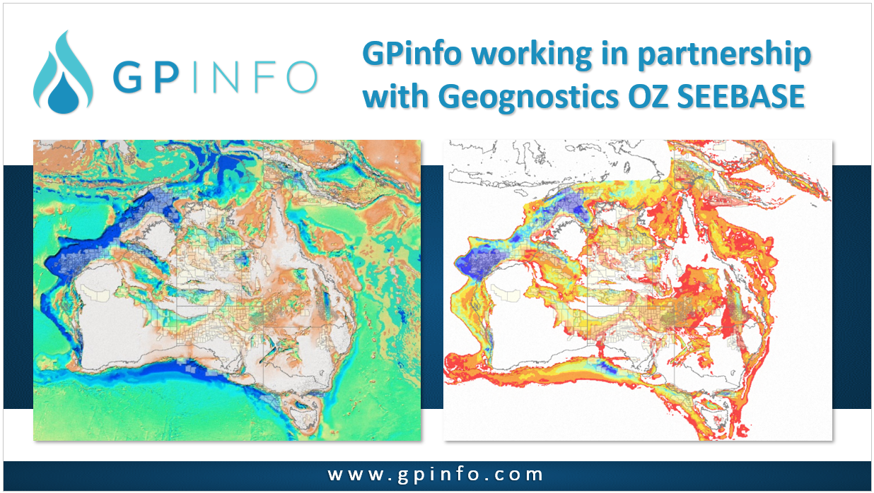
GPinfo in PNG

Acting as a local agent for GPinfo’s in PNG, we are pleased to welcome Francis to the team. He will be keeping us abreast of industry developments and liaising with the Department of Petroleum & Energy and already had a big impact with dozens of PNG data changes included in the November data update.

Printed Maps vs Digital: Do we still use paper maps?

The way in which we view and interact with maps of all types and across all sectors of life and industry has changed significantly too. As the self-proclaimed ‘Mapping Gurus’, here at Petrosys, we have a clear interest in how our customers work with maps, which has recently raised the question – why do we need printed maps when digital maps are so readily available?

Using Colour to Communicate

Improve your mapping standards by taking advantage of the latest scientific colour gradients. We have added a number of perceptually uniform and ordered gradients to new release Petrosys PRO 2020.1, created by Fabio Crameri

Managing exploration portfolios on spreadsheets

You worry that your portfolio is disconnected from any database or geological data sources. The visibility over the entire exploration portfolio is poor and you fear that sooner or later, you will miss some incorrect resource estimation and, therefore, make a poor decision for where to invest your companies limited resources. Surely there must be a solution to your problems? There is, and it’s called PLDB.

Go to Top