

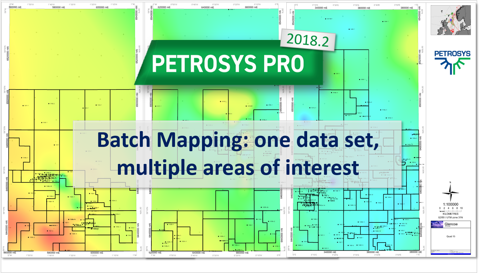
Batch Mapping: one data set, multiple areas of interest
Petrosys PRO 2018.2 makes it possible to automatically create maps with the same input data over multiple areas of interest. This is done through a new option to loop over map extents.
Petrosys PRO 2018.2 makes it possible to automatically create maps with the same input data over multiple areas of interest. This is done through a new option to loop over map extents.

Check out the new workflows that have recently been uploaded into the Client Portal.

Join us on Booth #S15 at the APGCE 2017, 20-21 November. Come talk to us about your mapping, surface modeling and data management needs and see the advancements we've made in our latest software release, Petrosys PRO 2017.1
Petrosys is introducing a new webinar series, ‘Prospect Mapping – From Interpretation to Volumes’. Running monthly from September to December the series will cover Time Structure Maps, Depth Maps, Thickness Maps and Computing Volumes from a Net Pay Grid.
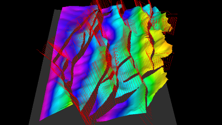
Petrosys users can automatically calculate fault polygons from fault sticks and horizon data – this is a major time saving over manual workflows. The output polygons can identify...