

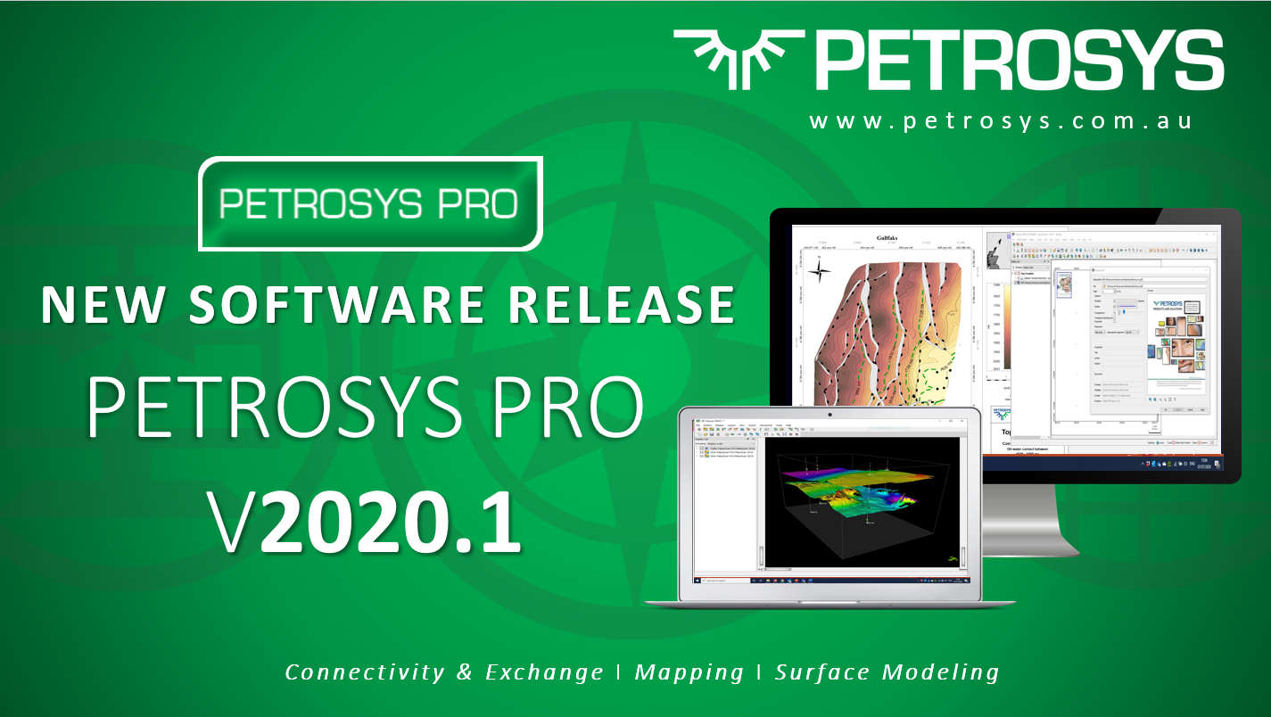
New Software Release Petrosys PRO 2020.1 is out now!
Petrosys PRO 2020.1 offers a range of new features for all our valued users across Connectivity, Mapping, and Surface Modeling.
This initial collection of new and enhanced features marks the start of a stream of exciting new functionality to come in the PRO 2020 series. The key highlights include:
Superior Connectivity – Significant enhancements to an already large footprint of 3rd Party Direct Connectivity:
- Connection enhancement to Eliis PaleoScan™ for reading fault sticks and well data building on the recent release of surface and horizon integration support
- Ability to write fault sticks and checkshots to Schlumberger Petrel™
- A new image/grid direct connect import option makes it simpler to work directly with DEM, BIL, ERDAS, ECW, GeoTIFF, Arc Binary Grid formats in Petrosys PRO
The industry leading Mapping simply keeps getting better:
- Directly display PDFs on the map canvas
- Use a new collection of perceptually equal gradients to better visualize surface features and attributes in maps
- Take advantage of your FMI logs in the popular log signature map displays
- The Spatial Editor now supports extraction of raster images directly into grids, surfaces, and attributes
Effective and reliable surface modeling – Our high-quality trusted module now delivers:
- More accurate grid surfaces around fault zones, with the new Clipping Distance feature. This removes erroneous input data within a specified distance of each fault, thereby reducing the likelihood of noise
- Control the Minimum Heave modeled at each fault polygon when using fault sticks in gridding


Login to the Client Portal to access the latest release
Get in touch
If you would like to know more about Petrosys PRO contact our team of mapping gurus.