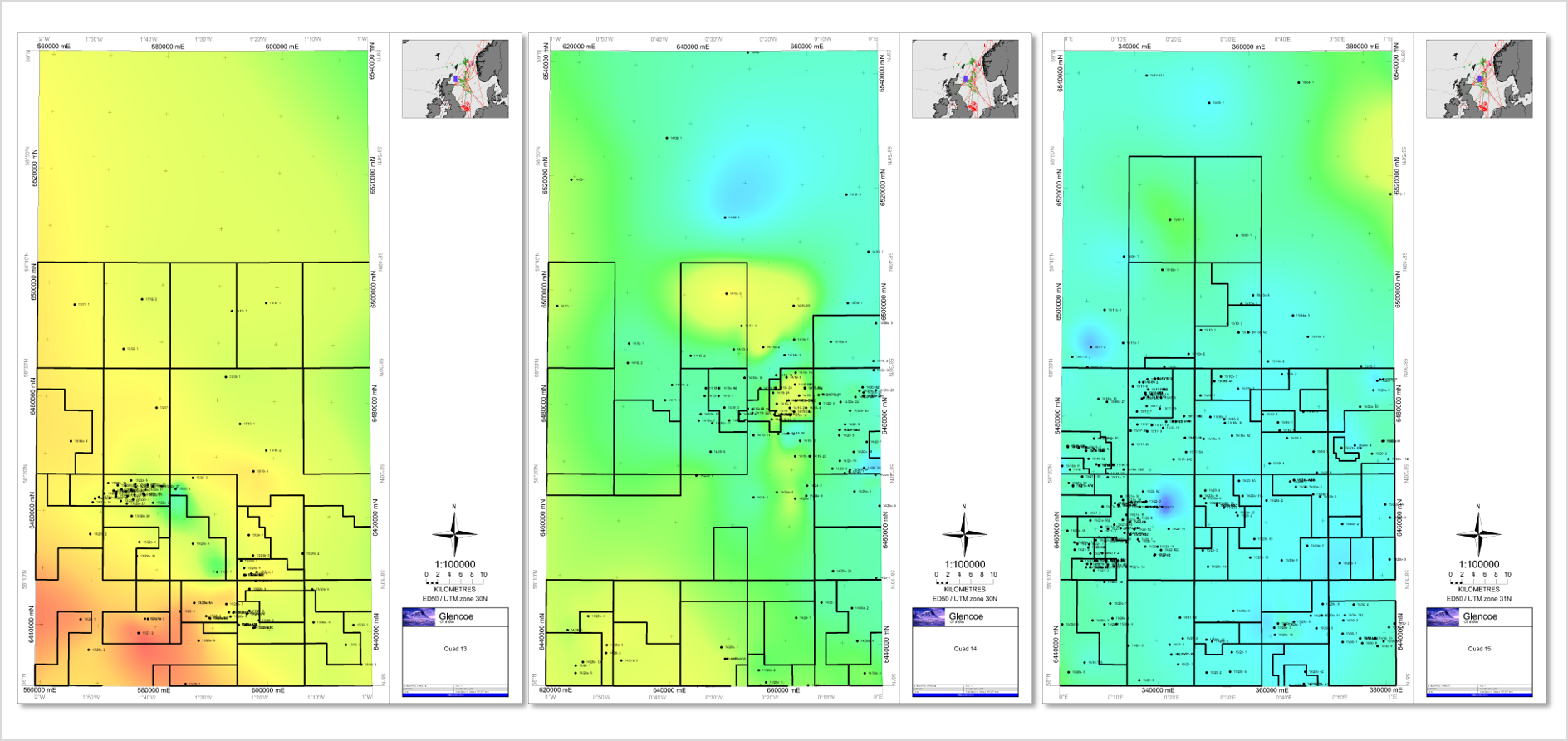
For many years, the “Draw Map” option in Surface Modeling has helped users automatically generate maps over the same extent, substituting the horizons and tops displayed. For example, this is an excellent workflow to update surface-based field models following the completion of a new well.
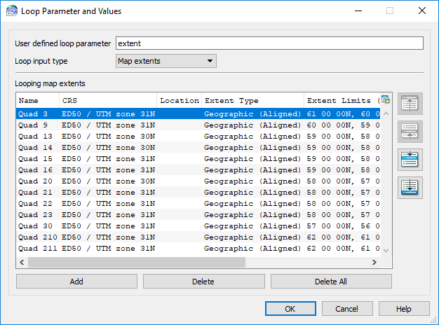 Petrosys PRO 2018.2 extends this capability so that it is possible to automatically create maps with the same input data over multiple areas of interest. This is done through a new option to loop over map extents. Example workflows include:
- Producing production bubble maps for all fields in a portfolio. The input database will be the same, but a new map will be produced for each field.
- Creating individual maps for each concession where a company has an interest, perhaps displaying a key horizon and associated well top.
Output formats for the auto-generated maps include:
- Layered PDFs, concatenated into one document if required
- Geotiffs suitable for loading into other applications able to read georeferenced images