

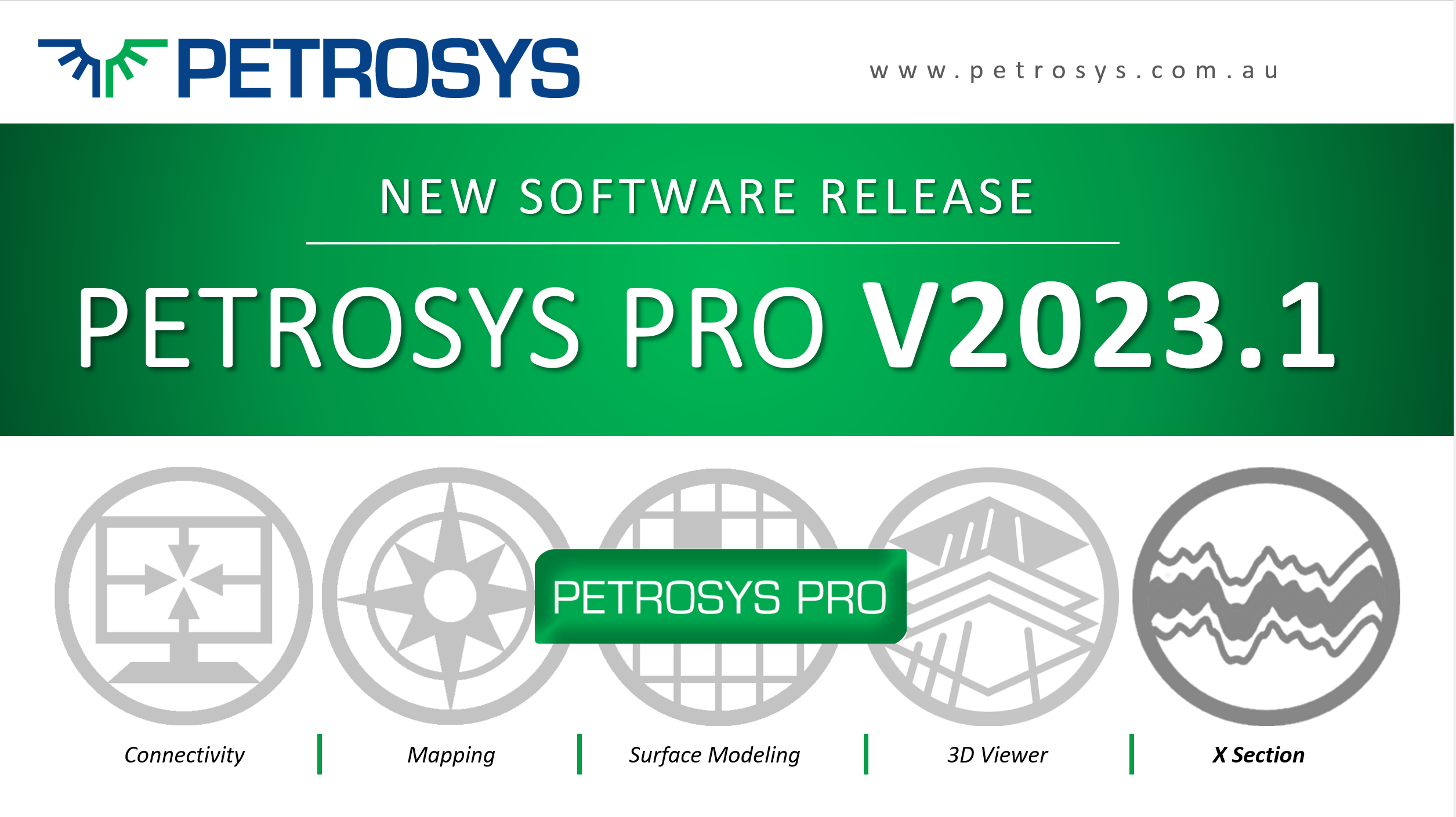
Petrosys PRO V2023.1 – X Section is here
The latest version of Petrosys PRO V2023.1, released on 15th December 2022, takes the software to the next level with all-new X Section and Fault Statistics modules.
The latest version of Petrosys PRO V2023.1, released on 15th December 2022, takes the software to the next level with all-new X Section and Fault Statistics modules.
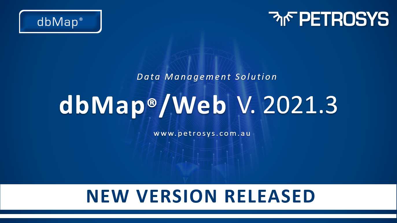
dbMap v 2021.3 is now out, featuring significant performance improvements and new features including the Rock Evaluation data loader. Clients can download dbMap/Web v 2021.3 from the client portal.

With time and budget focused on improving things elsewhere while the reliance on spreadsheets is an issue that resonates with many, the ‘good enough’ approach is often felt to be sufficient. But with fewer exploration wells now being approved for drilling and with success rates so low, perhaps this is in fact an outdated method of evaluating portfolios that is indeed broken.
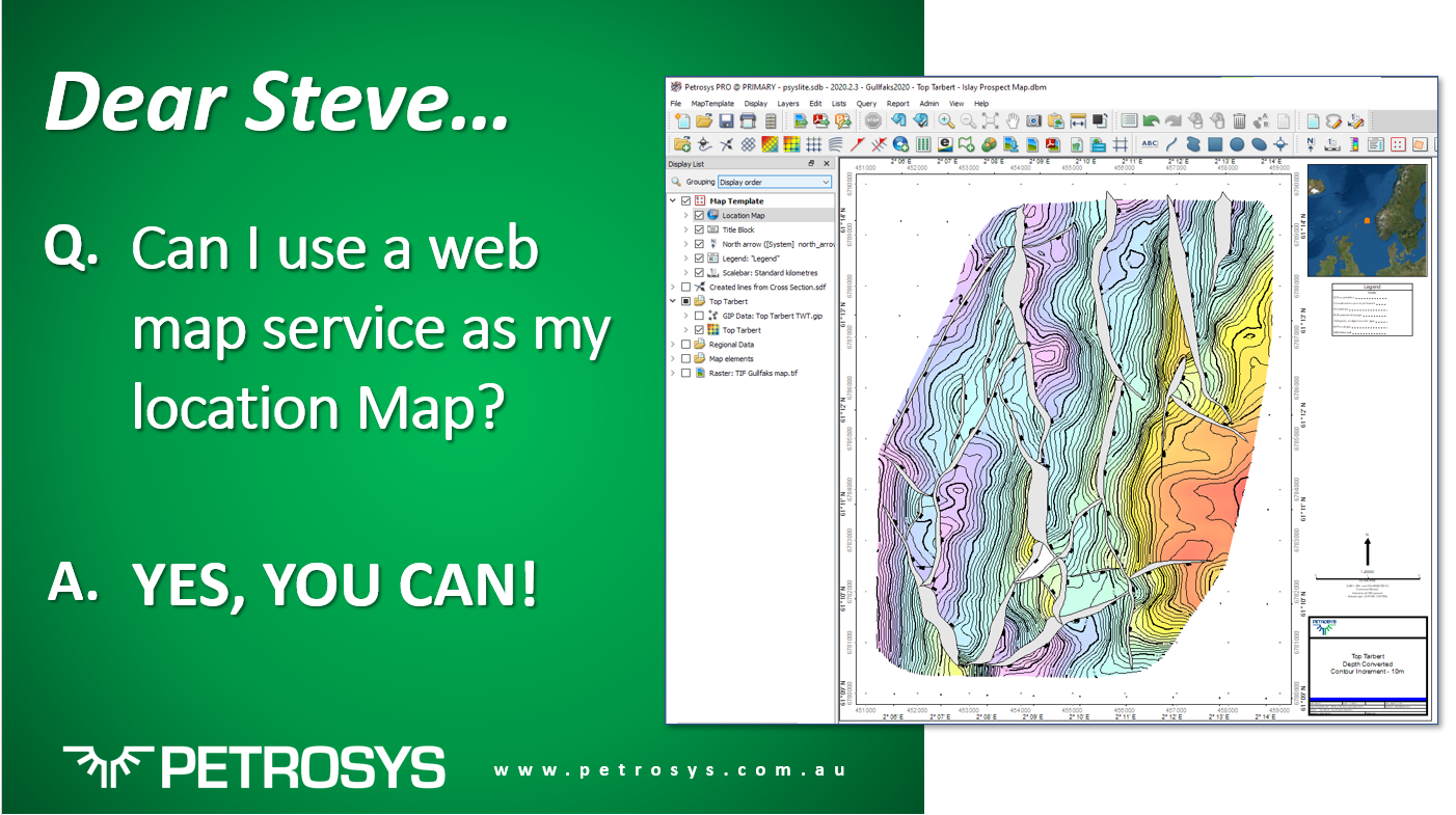
A couple of years ago Petrosys PRO introduced the ability to use a dbm. file with WMS layers as a location map. Not only that but location maps can also be included within the map template and displayed in your map by selecting the relevant style template at any time.

Petrosys has a well-established history of playing well with others, we have long recognised the value to our clients in having our software and data management solutions work across multiple platforms and operating systems. We have significant plans to explore and evolve continuing to invest in data integration, open standards, and modern platforms, and have joined our sister company Interica this year as committed members of OSDU.

The Petrosys R&D Roadmap is committed to OSDU™; as members of the Open Group, participating in networking and best practices discussions and developing a connector that enables the extraction and visualisation of Well data from OSDU™.
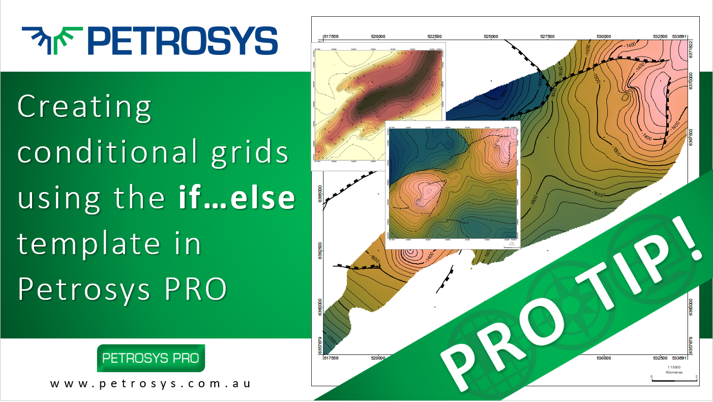
Occasionally, we receive an email in the Support Inbox that reminds me how easy it is to resolve complex mapping challenges in Petrosys PRO - when you know where the tools are! One such email we received recently was to with a specific template in our Grid Arithmetic tool. The if…else template.
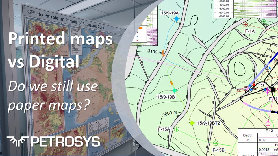
The way in which we view and interact with maps of all types and across all sectors of life and industry has changed significantly too. As the self-proclaimed ‘Mapping Gurus’, here at Petrosys, we have a clear interest in how our customers work with maps, which has recently raised the question – why do we need printed maps when digital maps are so readily available?