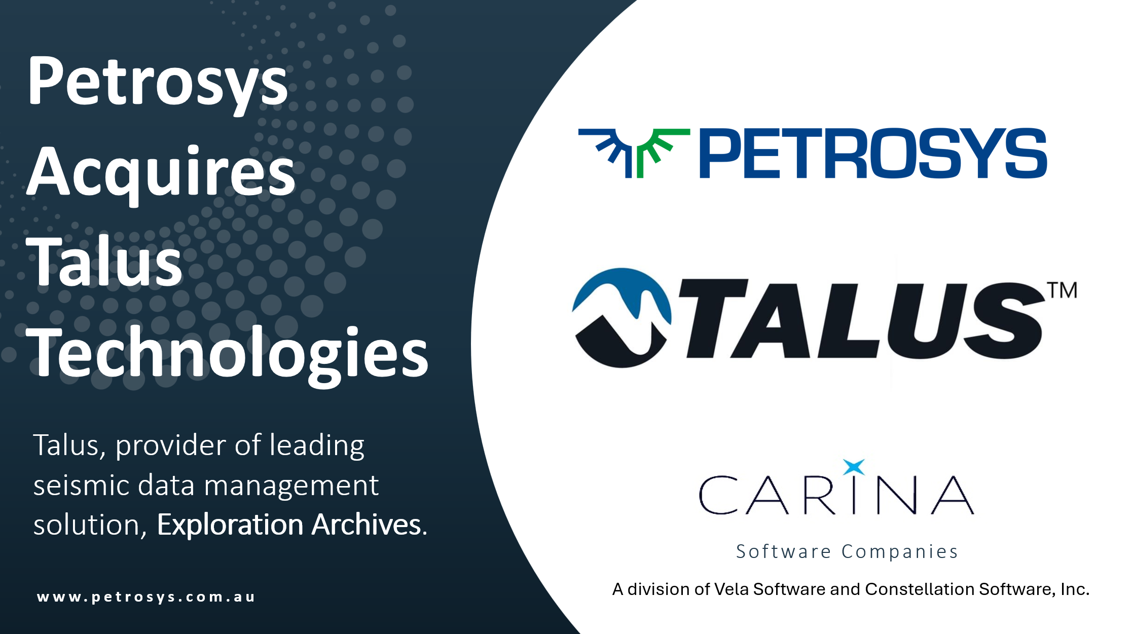
News

Dear Steve, Can I grid contours directly from Mapping?

For Petrosys PRO users, working with contours is a fundamental task. But what if you could remove the need to keep switching modules and grid your data directly within Mapping? Well, with the introduction of Layer Gridding in Petrosys PRO 2023.2, that's now a reality!

The Hidden Threat: Understanding Media Decay

In the fast-paced world of the energy sector the integrity and accessibility of information is paramount. Yet, amidst the buzz of digital transformation and exciting new AI technologies, for many companies there's a hidden threat to their data, tucked away out of sight in storage boxes: media decay.

Receiver Deghosting of High-Resolution Shallow-Tow Seismic Data

As the demand for offshore wind farms continues to surge, the need for detailed sub-bottom geotechnical information becomes paramount. To address this, shallow-tow, 2D, high-/ultra-high-resolution seismic acquisition has emerged as a promising solution. However, processing the resulting data presents its own set of challenges, particularly in receiver deghosting.

GeoSoftware Collaboration in Egypt

Press Release: 14 February 2024 - Petrosys | Interica, leader in subsurface geoscience and data management software solutions for the Energy sector, is pleased to announce a new collaborative partnership in Egypt with GeoSoftware, the trusted global provider of geoscience software and consulting services for enhanced subsurface knowledge.

Go to Top