Mapping with Faults using Autotracked Interpretation
In the latest software release of Petrosys PRO 2020.1 new functionality has been added to improve quality and efficiency when mapping faulted horizons.
With the release of Petrosys PRO 2020.1, users are now able to display raster imagery with XYZ data as grids in Mapping and, in general, use across the software as part of any workflow.
Interica OneView delivers a unique, single pane of glass view across the entire petrotechnical application environment. Interica OneView quickly identifies all Petrosys PRO projects that have been created within an organization before collecting any available metadata, spatial data, and images that are available within the projects.
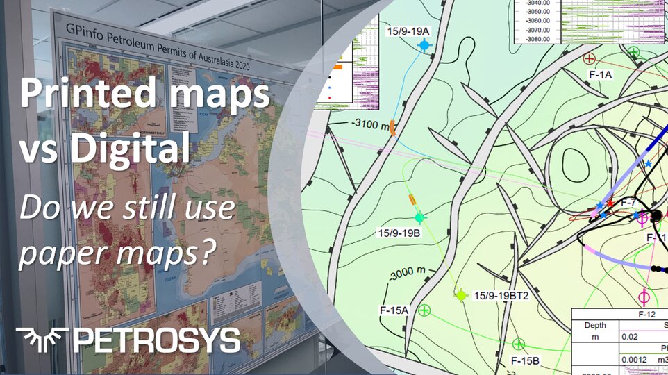
Praise for the 31st edition of the annual GPinfo Petroleum Permits of Australasia Map released at the end of May from clients and sponsors.
COVID19 has meant conferences URTEC and Summer NAPE 2020 are going virtual. Petrosys PRO mapping can help you present your company, market opportunities.
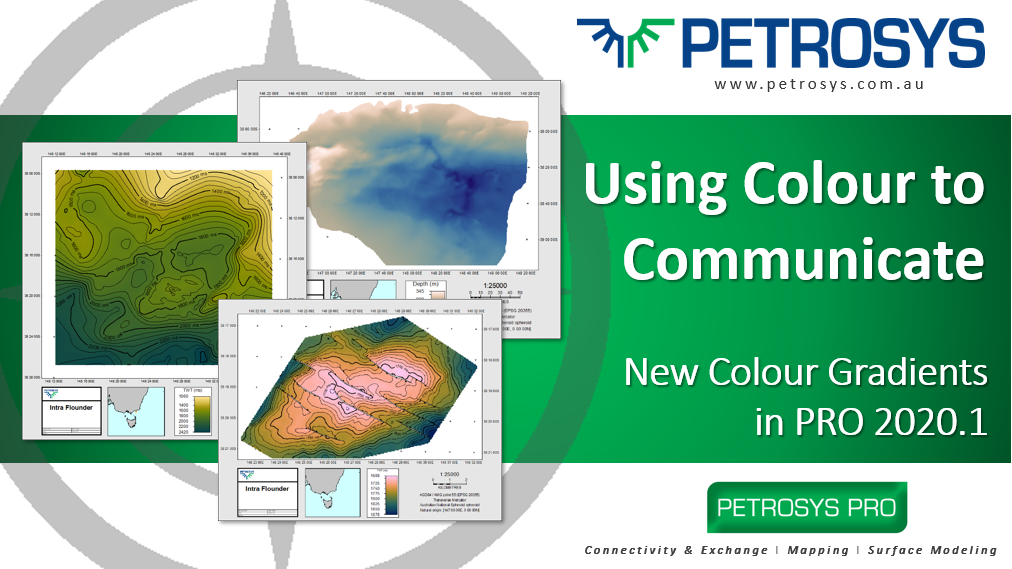
Petrosys PRO 2020.1 offers a range of new features for all our valued users across Connectivity, Mapping, and Surface Modeling.
A significant new release, dbMap/Web 2020.1 continues to expand and improve on wells functionality with the introduction of Multi-value (FMI) data in the well log viewer.
The GLOBEClaritas team are pleased to be delivering our second major release under the Petrosys banner, with significant improvements being made to enhance the user experience. We appreciate the continued support of our growing client base for GLOBEClaritas software and welcome the valuable feedback you provide enabling us to continually improve.