

Team News – Milestone Events
Congratulating Brad and Pavel from the team on reaching milestones with Petrosys.

Congratulating Brad and Pavel from the team on reaching milestones with Petrosys.
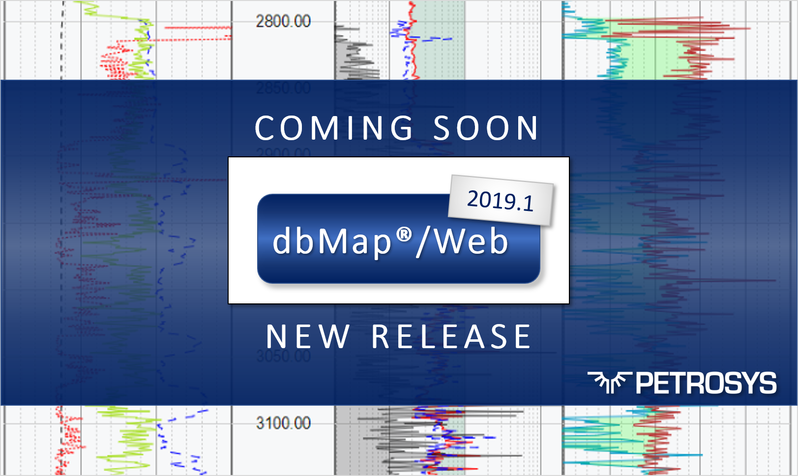
We’re getting ready for the release of the up-coming dbMap/Web 2019.1 - here is a sneak preview of a couple of the new features you can expect.
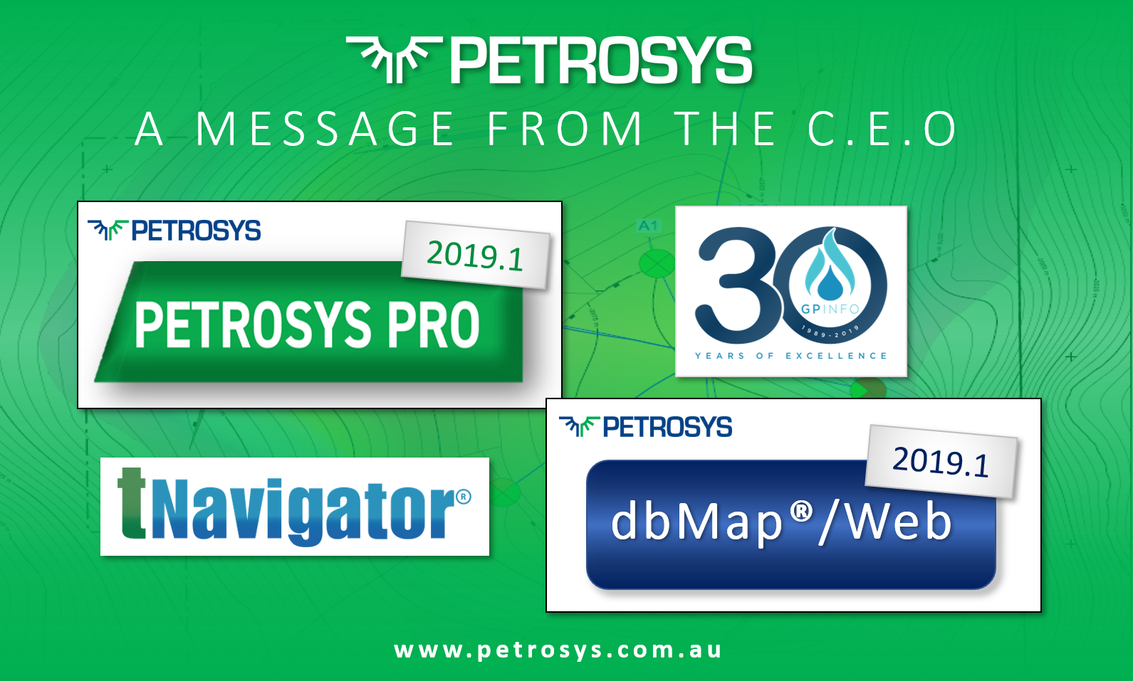
It's been another positive and busy start to the year here at Petrosys and it's shaping up to be even more action-packed over the next couple of months, with the launch of our 2019 product releases.
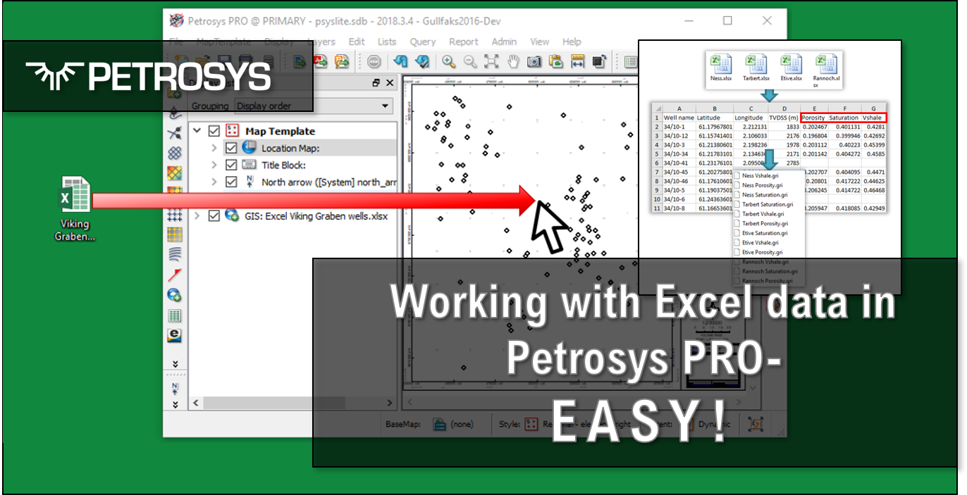
Petrosys PRO reads spreadsheets and ascii delimited files directly, no data duplication – update your spreadsheet, and your map updates too.
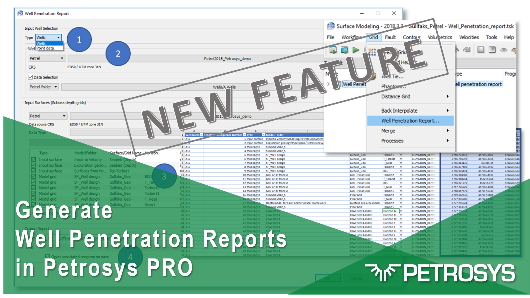
With the release of Petrosys PRO 2018.3, new functionality has been added that allows users to generate a complete well penetration report by just running a single task.
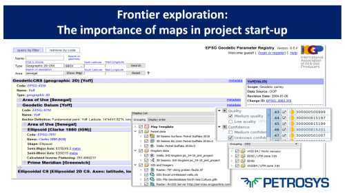
Frontier exploration projects often start with a data gathering phase, with companies reporting that this typically takes up around a third of the total project time. Maps are a great way to get a spatial understanding of available data.
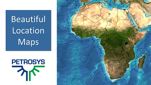
Petrosys PRO 2018.2 adds a new option to select Base map type, a big improvement on the quality of location maps.
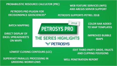
The Petrosys PRO 2018 series has been one of the most action-packed versions of Petrosys PRO software to date. Remind yourself of some highlights.