

The Map Templates Webinar Series
Join us over the next few months for our new webinar series on Map Templates. Register now.
Join us over the next few months for our new webinar series on Map Templates. Register now.
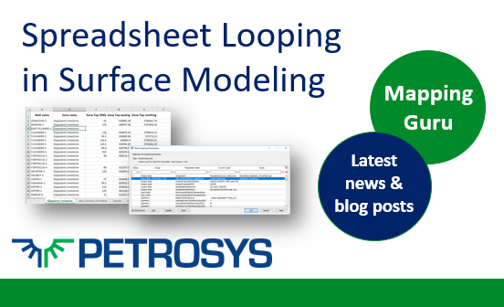
Introduced in Petrosys PRO 2017.1 to help users save time and streamline their workflows, tasks in Surface Modeling containing Excel spreadsheets can now be scripted and looped.
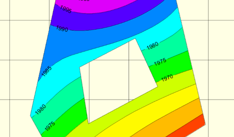
How to create a holey polygon and then use it to clip a grid in Petrosys PRO. This can be easily done using the Spatial Editor, the powerful tool in Petrosys PRO that allows you to edit spatial data.

Dear Steve, I have some polyline Petrosys faults, but I would like to get the X,Y, heave and throw values from these faults and out into an ASCII file. Can I do this using Petrosys?
Online User Group Meeting, Thursday the 18th January. We will be running a series of short presentations and demos focusing on the new Map Templates functionality released in Petrosys PRO 2017.1.
With the recent release of Petrosys Pro 2017.1 comes the roll out of the updated training manuals coinciding with the new Map Template standards implemented in the Pro release.
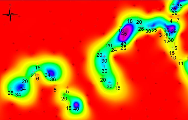
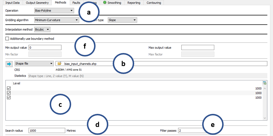
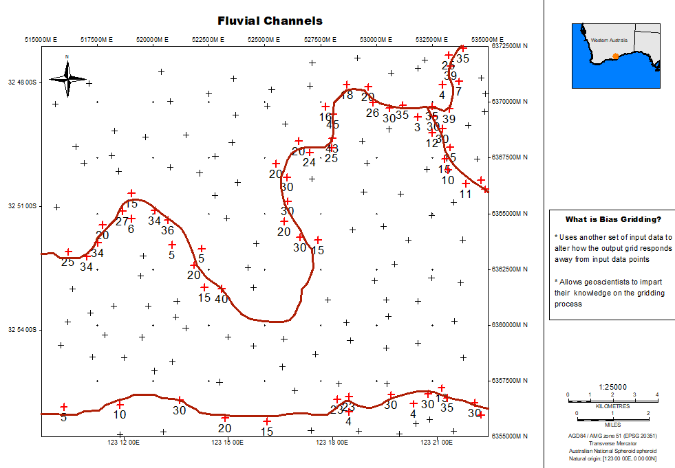
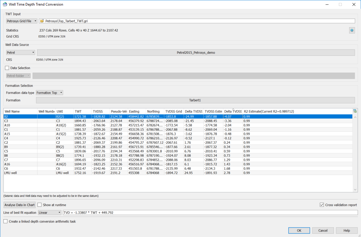
Using the default standard gridding method in Petrosys will produce great results. But sometimes geoscientists would like to have more control of the process.

Is your next workspace going to be 3D? Not just in your employer offering you a stand-up desk, but will real 3 dimensional display technology ever become mainstream? How will you be controlling what your information device does for you? Will your workspace be listening to you?