

Petrel Colouring and Other Enhancements
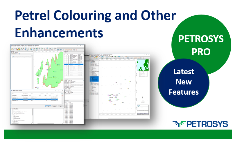
In Petrel, many users set colours for individual wells, for well folders and for well paths, this is now maintained in Petrosys PRO.
In Petrel, many users set colours for individual wells, for well folders and for well paths, this is now maintained in Petrosys PRO.

Finding out your map size and printing to the size you want is now very easy with the new 'page set-up and scaling' options in Map Templates.
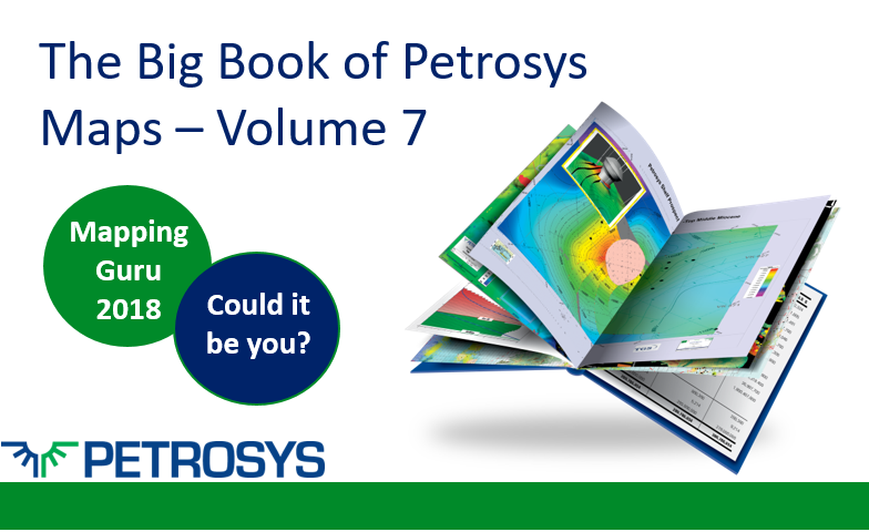
We invite all our users to submit a map to be included in The Big Book of Petrosys Maps. Winner of the best map is awarded the coveted title of ‘Petrosys Mapping Guru 2018’!
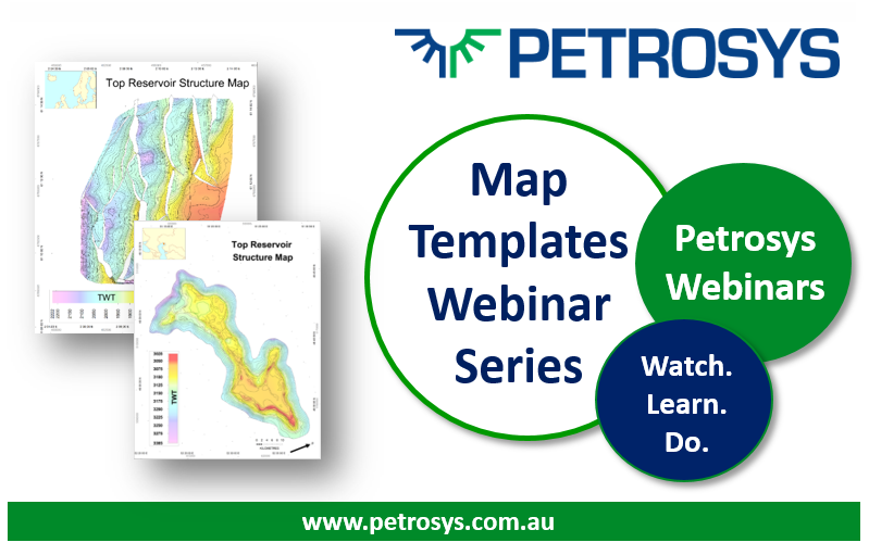
Join us over the next few months for our new webinar series on Map Templates. Register now.
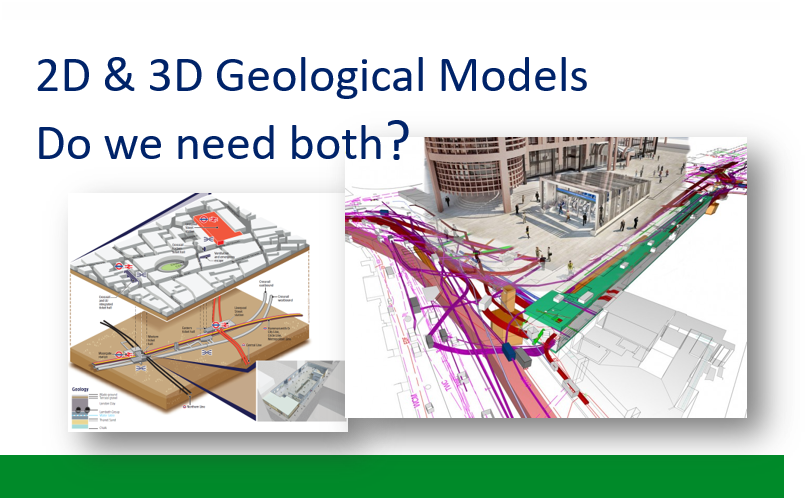
3D and 2D modelling are essential for quality interpretation and effectively presenting results.
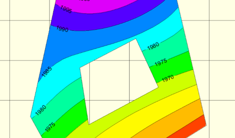
How to create a holey polygon and then use it to clip a grid in Petrosys PRO. This can be easily done using the Spatial Editor, the powerful tool in Petrosys PRO that allows you to edit spatial data.
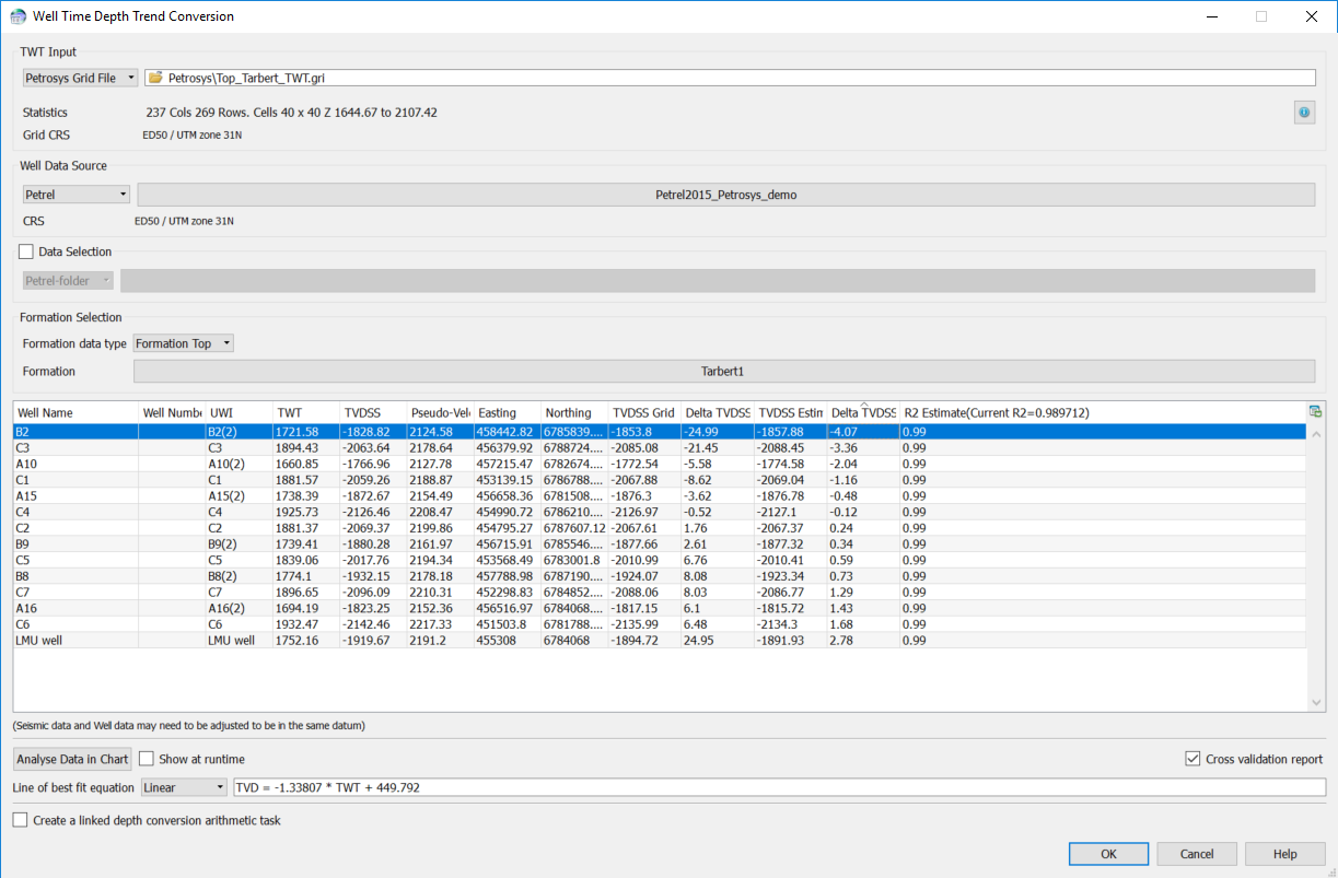
Dear Steve, I have some polyline Petrosys faults, but I would like to get the X,Y, heave and throw values from these faults and out into an ASCII file. Can I do this using Petrosys?
Online User Group Meeting, Thursday the 18th January. We will be running a series of short presentations and demos focusing on the new Map Templates functionality released in Petrosys PRO 2017.1.