

In Petrel, many users set colours for individual wells, for well folders and for well paths. As they have expressed in the past they would like to replicate this functionality in Petrosys, since Petrosys PRO 2017.1 the well colouring is maintained.
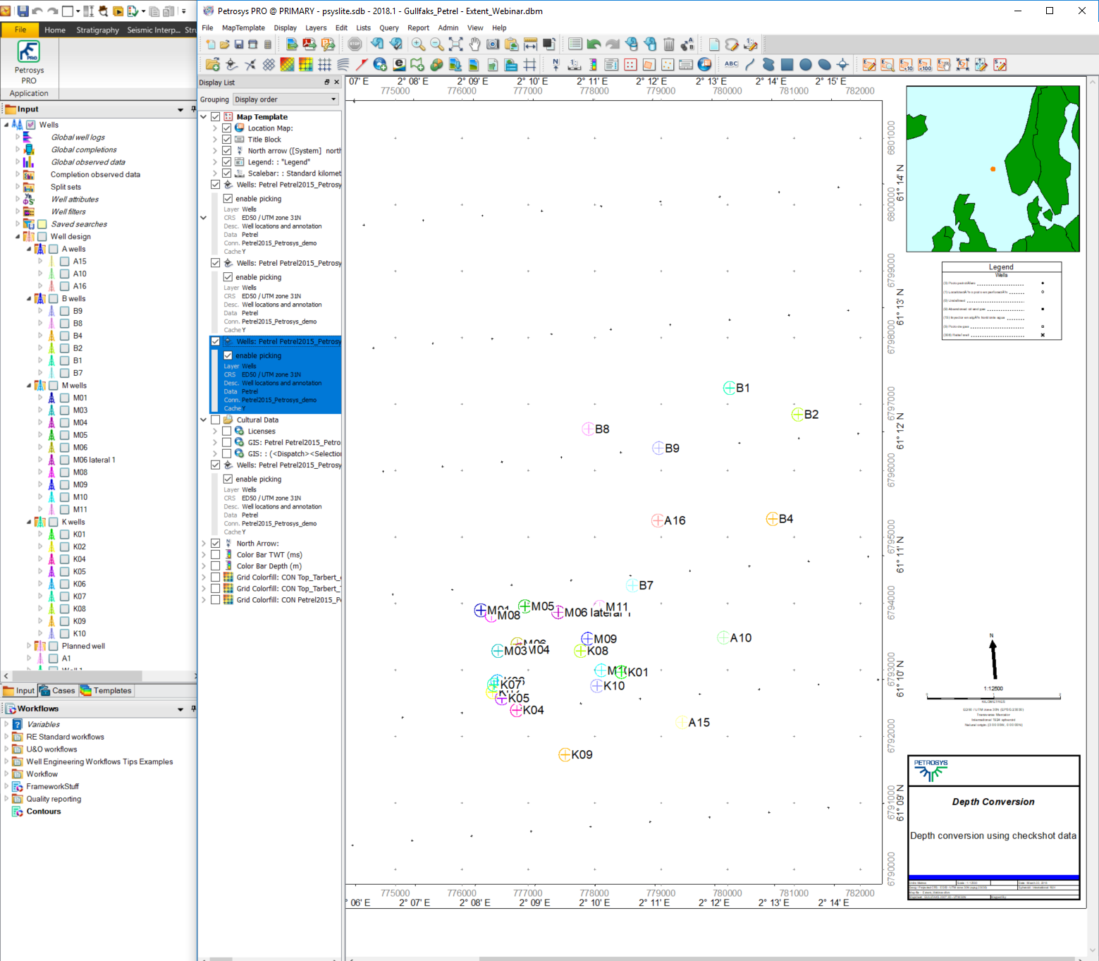
To achieve this, the Petrosys PRO well display has new options to allow the Petrel colours to be selected and displayed.
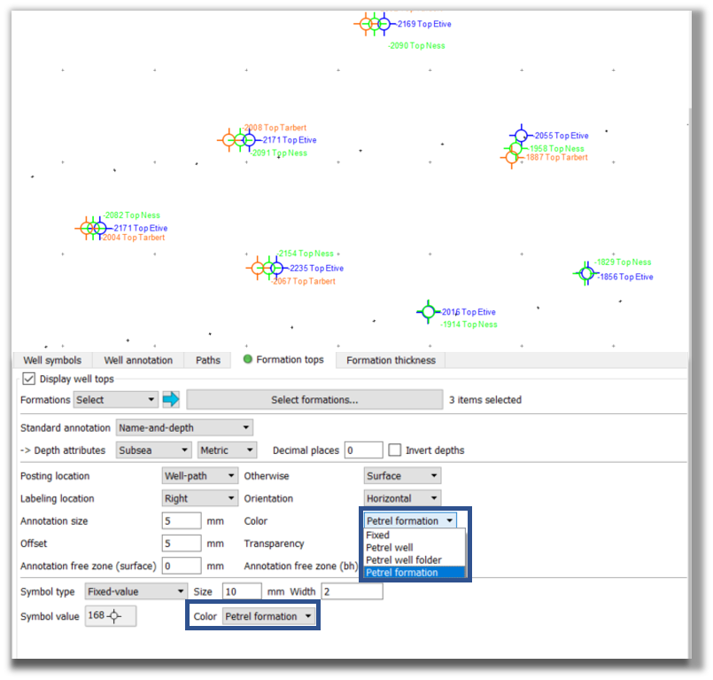
Petrel also allow users to set specific colours for each formation top. These formation colours can also be maintained on a Petrosys PRO map.
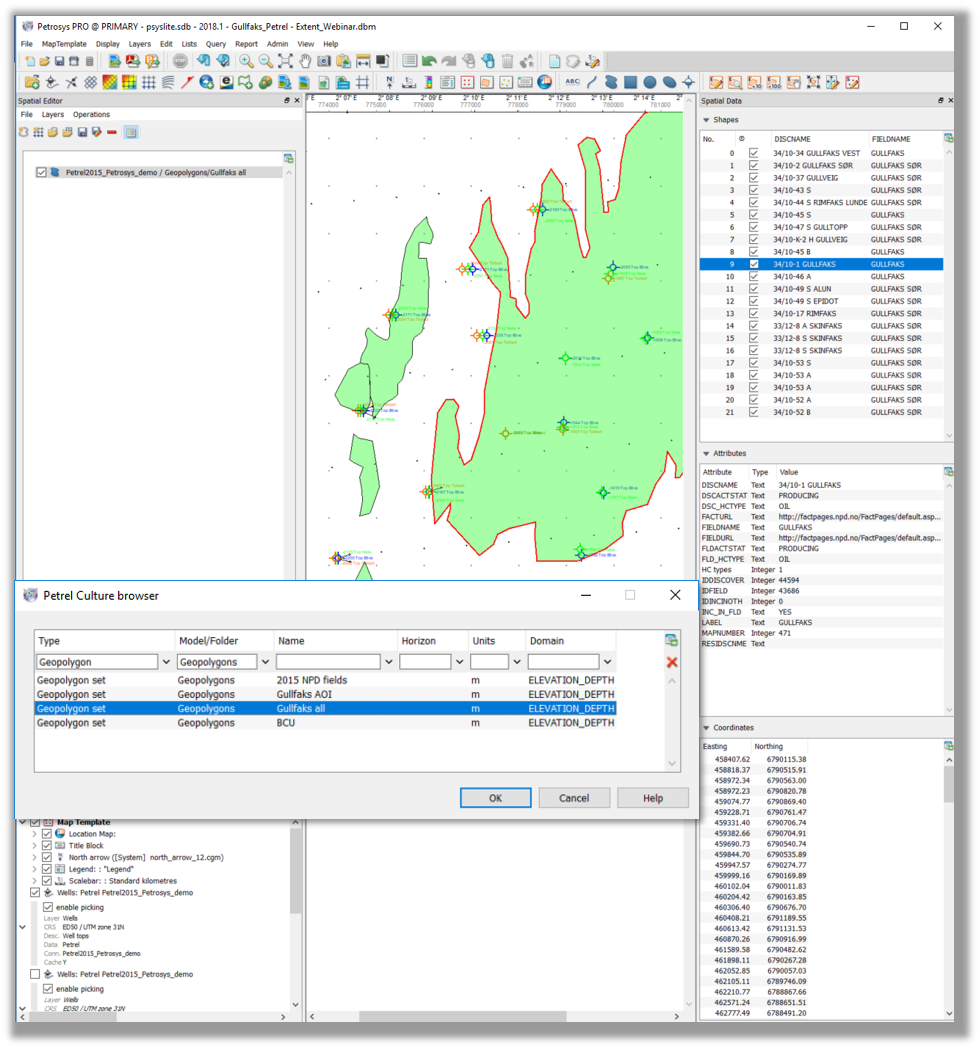
An additional enhancement includes the added support for Petrel Geogpolygons, which are used for closed polygons with holes and attributes suitable for cultural data and risk evaluation maps. These geopolgyons can now be dsiplayed in Mapping. Furthermore, these features can be edited within the Spatial Editor and once you save any edits, these will be pushed back into the Petrel project automatically.
The geopolygons can also be used as input/output in the Spatial Data Translator. This would allow you to import & export them into a 3rd party format.
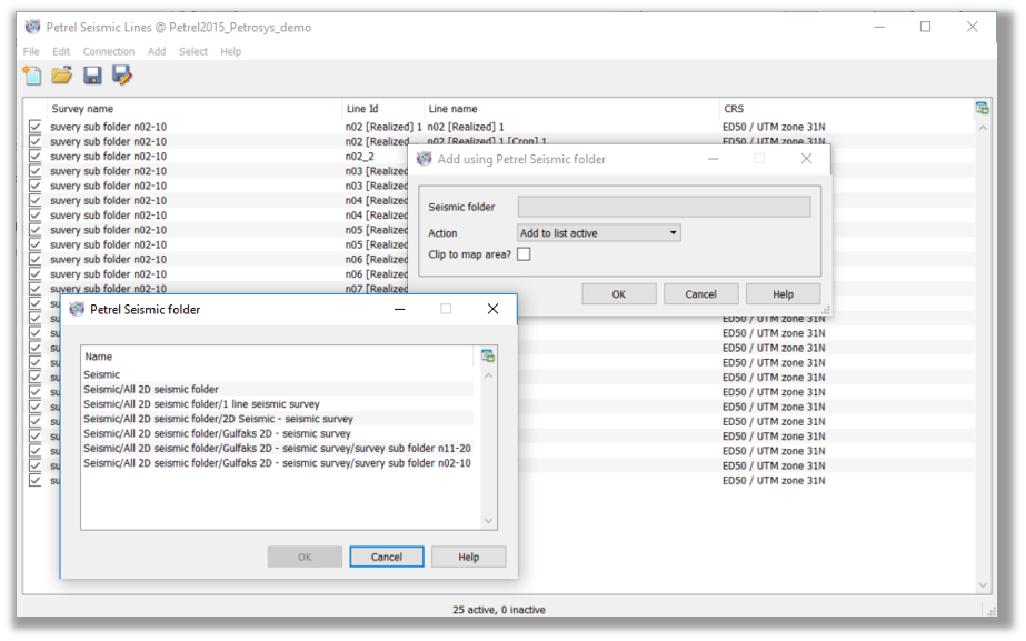
Finally, Petrosys PRO 2017.1 allows you to filter 2D Seismic data in Petrosys PRO based on Petrel Seismic folders. The subset of lines can be saved as a line selection file for display, gridding and data transfer.
Coming Up in Petrosys PRO 2018.2 due to be released in June 2018.
In Petrosys PRO 2018.2 grids and surfaces will appear in Petrosys as they do in Petrel with the colour gradient automatically imported without user interaction. Saves time to improve your map in Petrosys!