


Quickly Convert Legacy Data to Digital Formats
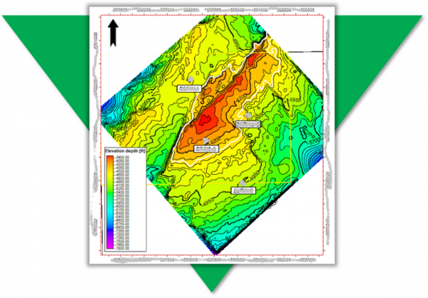
A new entrant to a mature basin needed to gather surface and fault data from many images and scanned maps. Traditional digitising was slow, boring, and unpopular with the team, but attempts to outsource it had resulted in error prone data being returned. Useful knowledge was being excluded because it was too difficult to capture. It was clear they needed a way to quickly convert their legacy data.
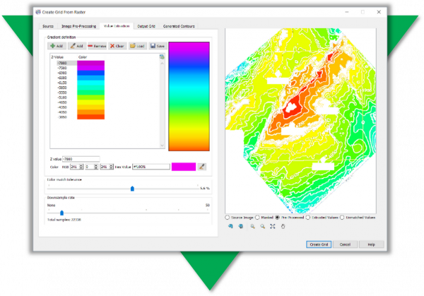
Petrosys PRO has tools to georeference images; convert rasters to grids; automatically trace lines; edit grid and vector data. Geoscientists can quickly convert images without getting repetitive strain and own their data making any necessary edits to produce high quality results that match their expectation and knowledge.
The Challenge
Traditional digitising is time consuming and laborious – took over 3 hours
The Result
Petrosys PRO writes data directly back to interpretation systems for further modeling
Fast. Accurate. Relevant.
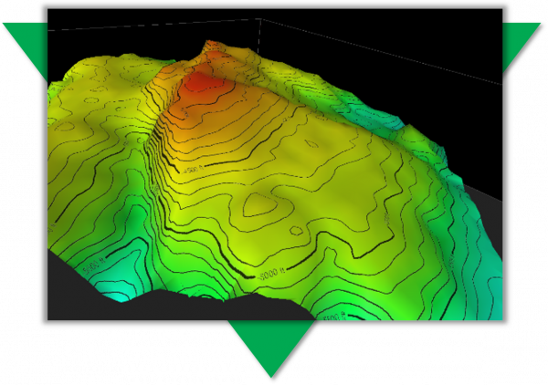
With a fast and accurate process, much more relevant data is available for assessment. The outputs are properly positioned in all dimensions and are easily shared with geoscience and GIS software, adding context and value to recent interpretation.
“We used to make do with using images as background pictures, but being able to properly incorporate surfaces or contours with z-values has changed the way we work.” TF, Geoscience Data Coordinator