GPInfo

April 2022

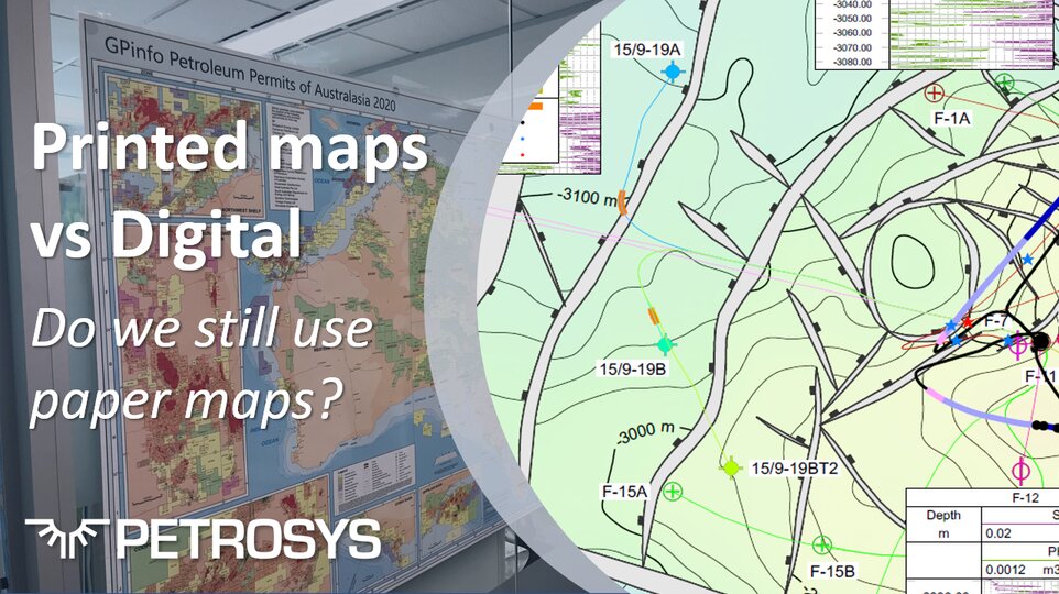
GPinfo 2022 Permits Map Coming Soon

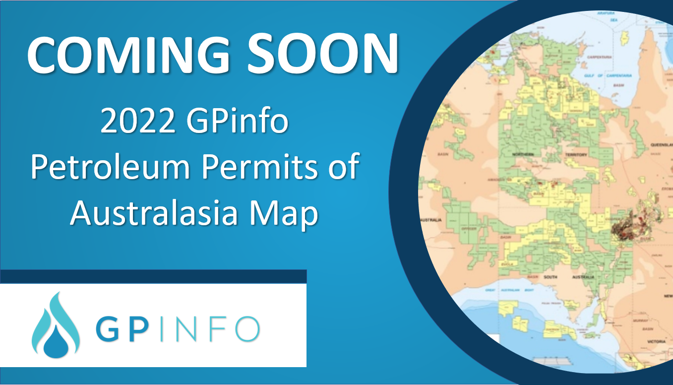
GPinfo is getting ready to launch the 2022 Petroleum Permits of Australasia Map at APPEA 2022. The GPinfo Petroleum Permits of Australasia Map, produced annually with industry support and assistance, is the most accurate and up-to-date map of its kind and an essential tool for any company associated with the petroleum industry.

December 2021

May 2021

Explore and Evolve with Confidence

Petrosys has a well-established history of playing well with others, we have long recognised the value to our clients in having our software and data management solutions work across multiple platforms and operating systems. We have significant plans to explore and evolve continuing to invest in data integration, open standards, and modern platforms, and have joined our sister company Interica this year as committed members of OSDU.

December 2020

Season’s Greetings – A message from the C.E.O

2020 is without a doubt, not the year any of us had planned however, as I look back on the past 12 months it has been heartening to witness our resilience and capacity to adapt to unparalleled circumstances and keep going.  Petrosys colleagues and clients have successfully migrated to a ‘virtual’ world and it is with pleasure that I note our ability to communicate and remain productive has only gone from strength to strength.

GPinfo in PNG

Acting as a local agent for GPinfo’s in PNG, we are pleased to welcome Francis to the team. He will be keeping us abreast of industry developments and liaising with the Department of Petroleum & Energy and already had a big impact with dozens of PNG data changes included in the November data update.

Printed Maps vs Digital: Do we still use paper maps?

The way in which we view and interact with maps of all types and across all sectors of life and industry has changed significantly too. As the self-proclaimed ‘Mapping Gurus’, here at Petrosys, we have a clear interest in how our customers work with maps, which has recently raised the question – why do we need printed maps when digital maps are so readily available?

July 2020

Go to Top