

What is the procedure to access GIS mapping services in Petrosys?
Web Mapping Services (WMS) are accessed via Mapping/Display/Picture/Raster Image…, selecting the WMS Raster source dropdown and then inserting an appropriate link from the internet (URL). A range of WMS service listings are available on the internet or a WMS server can be set up in-house with assistance from Petrosys. A Known WMS connection to OSGeo WMS Images has been provided within Petrosys but others can be easily added as required, such as the Geoscience Australia example illustrated in the following images.
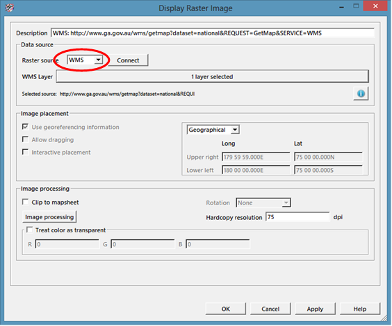
Select WMS in the Raster source dropdown box and press Connect:
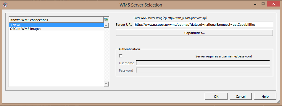
Paste in the URL from the WMS server:
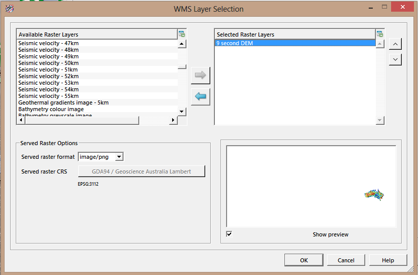
Select the layer(s) you wish displayed (the preview below shows Australia on a World map):
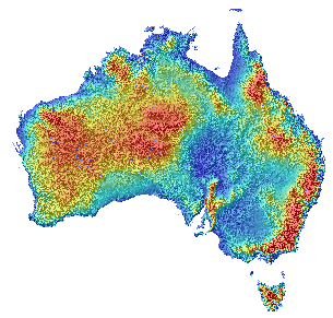
The 9 second DEM of Australia:
 To view the range of Geoscience Australia’s WMS datasets visit www.ga.gov.au/map/broker/wms_info.php or contact support@petrosys.com.au to enquire about setting up your own WMS for in-house use.