

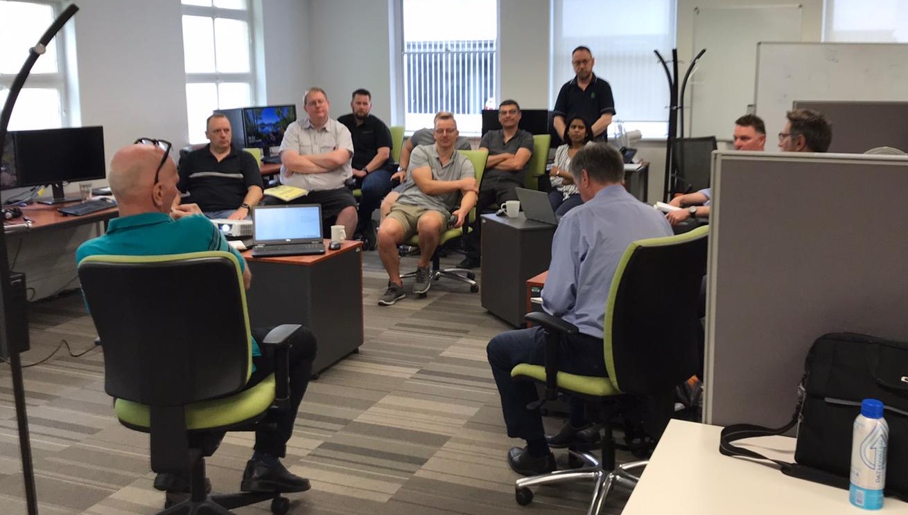
Image – Some of the Petrosys team from around the globe in Adelaide recently – (minus a couple who managed to hide behind a screen and me hiding behind a camera)
Let’s talk about Cross-Sections…
Kevin Ward, Petrosys Europe
In this particular get together in Adelaide recently we were brainstorming what a cross-section tool should look like in order to add value to subsurface mapping workflows in Petrosys PRO.
We quickly realised that the use of Cross-Sections in subsurface mapping is varied and everyone had different opinions as to the workflows for which they consider Cross-Sections to be important.
What are the key workflows for Cross-Sections?
We decided that there are 3 key workflows where Cross-Sections are required (not in any order of importance):
- Presenting: the cross-sectional view of surfaces to explain concepts
- Analysing: the cross-sectional view to improve interpretation
- Initial interpretation: of tops/surfaces, especially with wells and logs
We’ll break these down and look at each in more detail.
Presenting Cross-Sections
Maps are great for presenting technical data. No questions there, we need maps to illustrate our concepts and understanding. However, maps just show a 2-Dimensional view of 1 surface. What about how this surface interrelates to all the other surfaces? Where do surfaces truncate? How do fault planes propagate in depth? We need Cross-Sections to do this.
This is how a Presenting Cross-Sections workflow could look:
- Create grids and maps of all surfaces, including faults and using all available data
- Draw a line of section on the map and a cross-sectional view showing the interrelationship of all surfaces and faults is produced
- The cross-sectional view would need to allow controlling of vertical scaling, posting of well locations, colour filling between the surfaces, good annotation control
- Key values sought: High-quality, professional-looking output; easy publication to Powerpoint/PDF/printer
Analysing Cross-Sections
Accurate surfaces are always required. If we think an area is not complex or if we don’t have much data, we may not spend time building a full cellular model and hence we need to rely on the accurate interaction and structure of our surfaces. Alternatively, if we are going to take the time to build a full cellular model, we want the input surfaces/faults to be as geologically accurate as possible as this will have implications much further down the line in our model. Cross-Sections, therefore, play a key part in getting these surfaces to reflect our geological understanding.
This is how an Analysing Cross-Sections workflow could look:
- Create 1 grid and display this surface on a map, including faults using all available data
- Draw 1 or more lines of section (e.g. perpendicular or several parallel lines) across a key area and the 1 surface and associated faults appear in 1 or more cross-sectional views
- Repeat for the 2nd surface. It automatically appears on the Cross-Sections
- Display some wells and tops onto the cross-section so we have control points
- Analyse the cross section and either edit the surface on the map or on the cross-section (e.g. to clip cross-cutting surfaces)
- Repeat for all surfaces, again editing and adjusting the surfaces in both the map view and cross-sectional view as you go to build up a framework of surfaces/fault planes
- Key values sought: Ability to see map view and cross-sectional views together; dynamic editing capabilities of surfaces/faults within the cross-section tool; display of well tops from any data source to act as control points.
Initial Interpretation of Cross-Sections
Well log correlation is another very good reason for using cross-sectional views. For many, it’s the main reason. When you display multiple logs, you can easily see the lateral changes in stratigraphy. You can see where you have pinch-out and you can infer the presence of faults. The more wells you have the better, and in some cases (especially onshore) you are going to have a lot(!) of wells to deal with. Viewing all these data in cross-section and correlating is a no brainer.
This is how an Initial interpretation of Cross-Sections workflow could look:
- Display data for lots of wells and their logs on a map (optionally have surfaces created, e.g. from seismic)
- Draw a line of section on the map and a cross-sectional view with all the intersected wells/well logs will appear
- On the map, adjust the search width to project nearby wells onto the line of section
- Pick tops and auto-tracked surfaces will be created, or existing surfaces will be updated
- Infer the presence of faults and/or pinch-out of surfaces where relevant
- Key values sought: Being able to handle 1000+ wells and logs quickly; easy creation of line of section and projection width control; ability to pick tops; auto-tracking feature to generate initial surface; ability to edit surface based on geological knowledge
I wouldn’t have been able to write half of this last week but by working with geoscientists who can explain what is important in their part of the world, developers who can communicate what is feasible/technically possible within the software, and business-minded people who can pinpoint what adds value to a given workflow, really made me formulate in my own head what a cross-section package could/should look like.
So now over to you, let us know how your understanding of Cross-Sections would influence what workflows would be important.